Isaias nears Category 3 as Panhandle landfall window narrows to tonight
The first hurricane of 2026 is forecast to reach Category 3 today before shear weakens it ahead of a late-night Panhandle landfall. New Orleans sees 1 to 3 feet of lake surge and a tropical storm warning on the far coast.
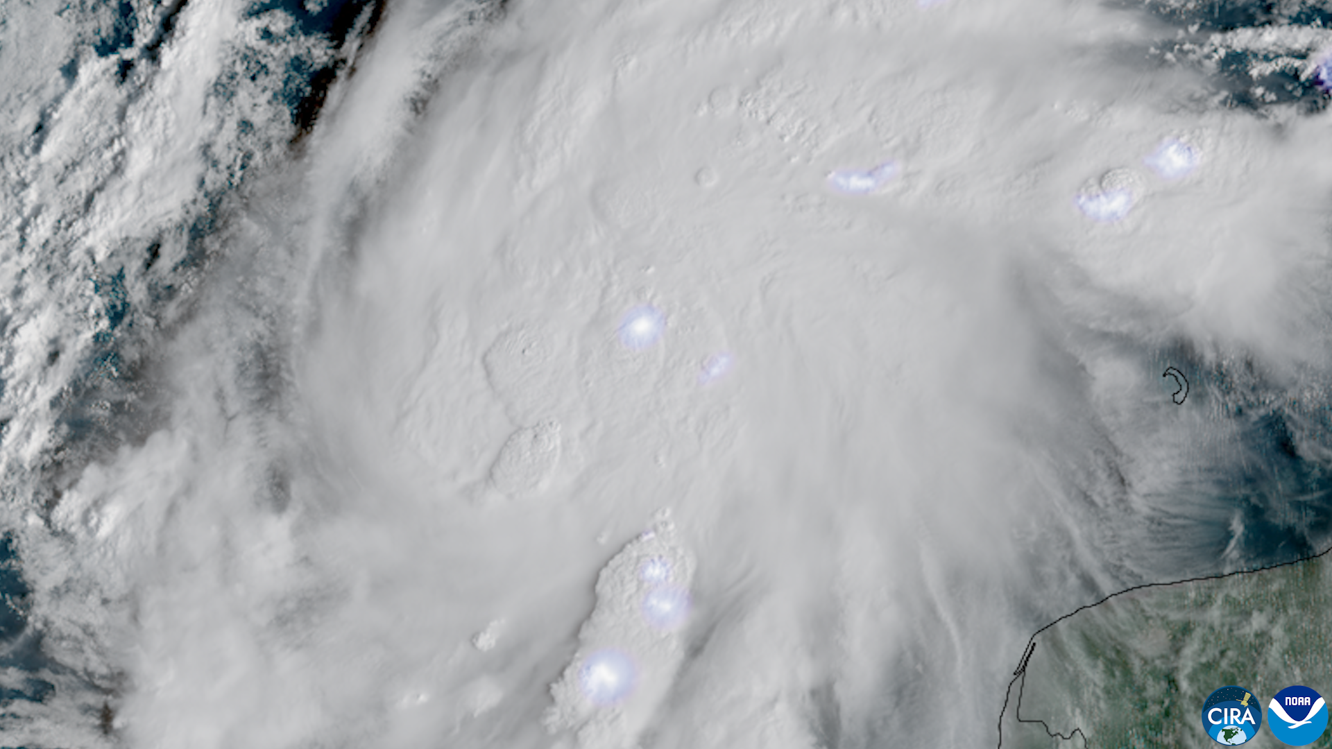
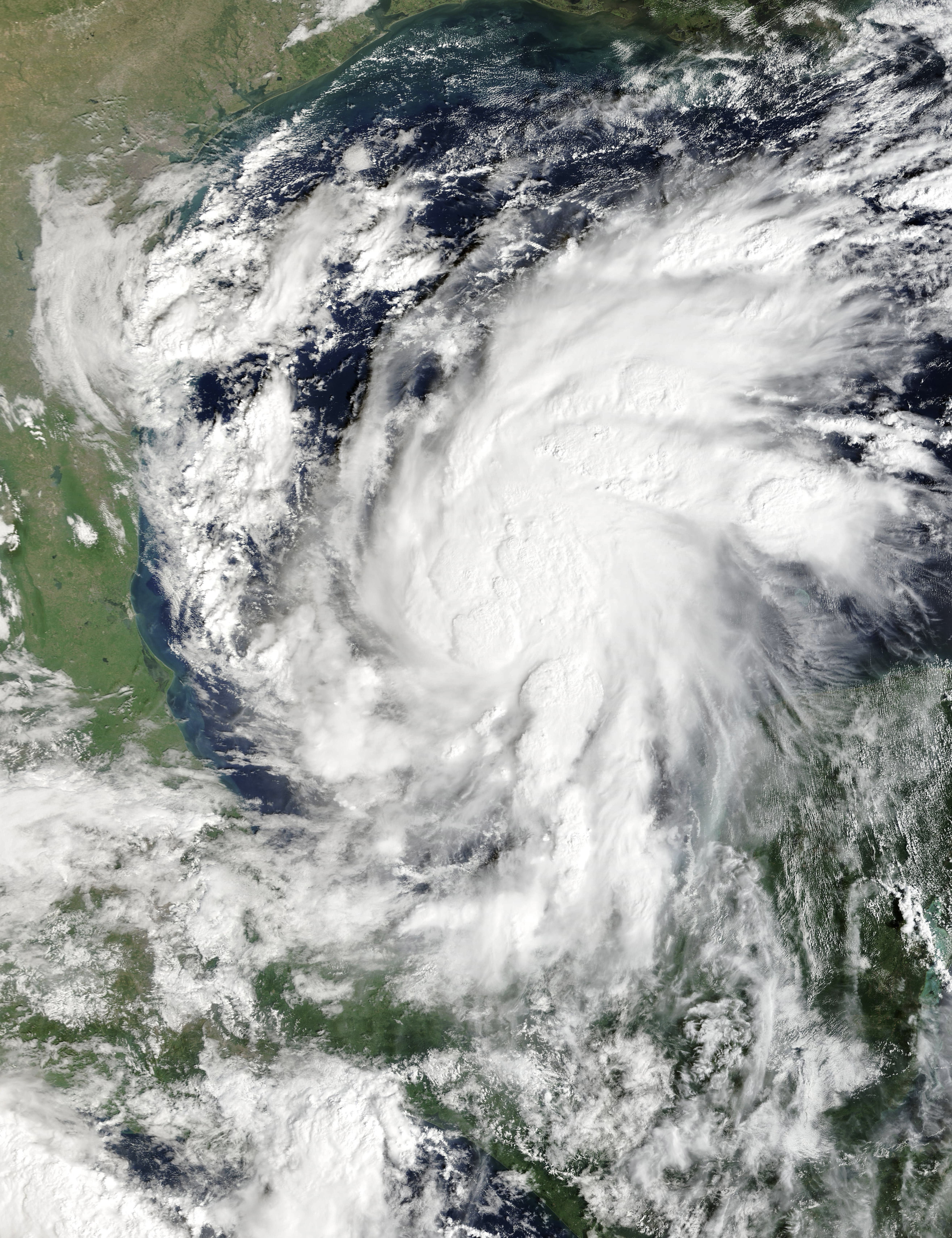
NEW ORLEANS: Hurricane Isaias spent Friday morning growing into the most dangerous storm of the 2026 Atlantic season, a strong Category 2 with 110 mph winds that the National Hurricane Center expects to touch Category 3 strength before wind shear starts tearing at it ahead of landfall late tonight or early Saturday.
The forecast track has narrowed on the Florida Panhandle. Forecasters expect landfall somewhere between an eastern slice of Alabama and Destin, Florida, late tonight or early Saturday, with winds at landfall in the range of a high-end Category 2. WeatherTiger chief meteorologist Ryan Truchelut puts the most likely landfall point near Pensacola around midnight. The predicted landfall winds are, in the hurricane center’s word, “tenuous.”
NHC senior hurricane specialist Eric Blake cautioned that just a six-hour delay in the onset of wind shear could bring a stronger hurricane ashore than currently forecast.
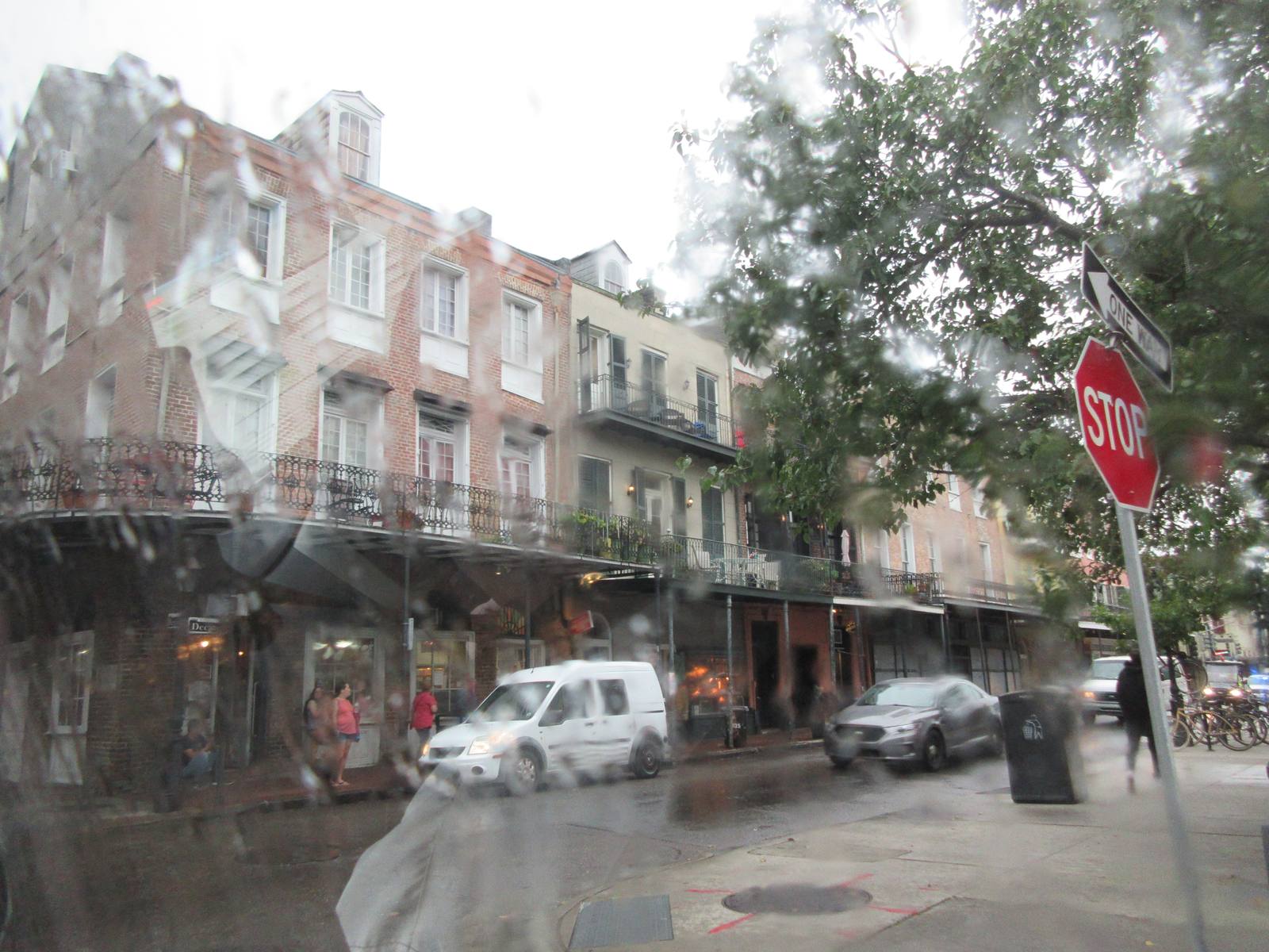
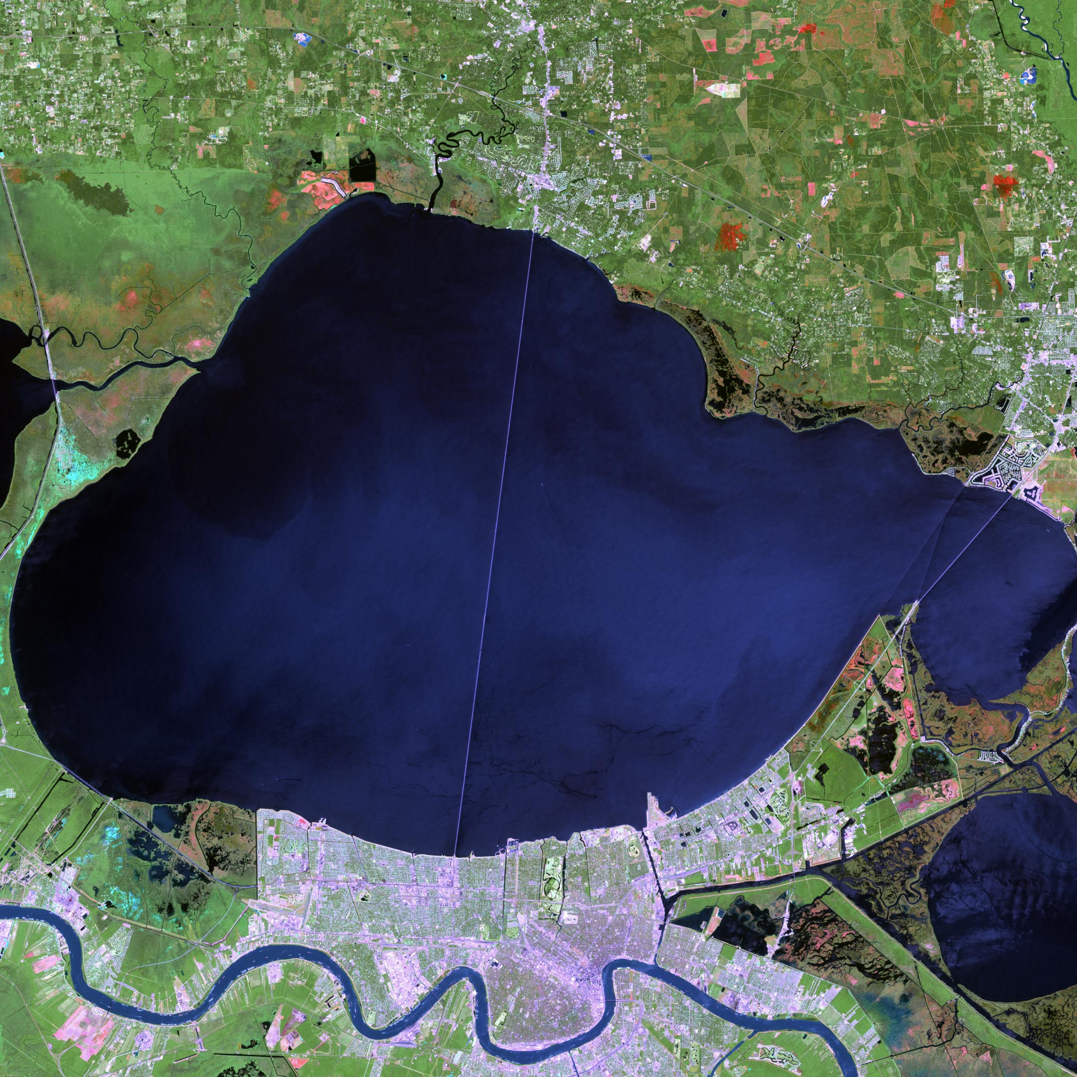
For New Orleans, the storm is a near miss with a wet edge. The city sits well west of the forecast landfall point, on the weaker side of the storm, but the hurricane center still forecasts 1 to 3 feet of storm surge on Lake Pontchartrain and a tropical storm warning covers the coast from the Jefferson-Parish/Plaquemines-Parish line eastward. The far more dangerous surge, forecast to peak at up to 7 feet along the northern Gulf Coast from Mississippi to the Florida Panhandle, will hit east of the storm’s landfall point.
NHC Director Michael Brennan has been blunt about what that surge means. "A hurricane landfall can be a violent push of water with dangerous breaking waves on top of it. It’s not like watching a bathtub fill up," he said.

Florida is braced for the worst of it. Gov. Ron DeSantis expanded a state of emergency to 27 North Florida counties on Thursday, and at least six Panhandle counties had issued evacuation orders for barrier islands and other vulnerable areas. The storm’s tropical-storm-force winds stretch 125 miles from its center, so impacts will reach far beyond wherever the eye comes ashore.
Isaias is the first hurricane and the ninth named storm of the 2026 Atlantic season, which set the latest first-hurricane date of the satellite era, nearly tying the all-time record set on Oct. 8, 1905. It formed as a tropical depression in the southwestern Gulf on Oct. 6 and became a hurricane late Wednesday night.
In Louisiana, the main event is water, not wind. Residents along the lakefront and in low-lying coastal parishes should expect elevated water through Saturday morning, and drivers should treat any flooded road as impassable. The storm is forecast to be moving at 15 to 20 mph as it comes ashore, which limits how long the rain sits over any one place but spreads gusty winds well inland.
None to date. The Tribune corrects errors promptly and transparently. Read our corrections policy.