Weekend soaker: New Orleans could see 3 to 5 inches as flood threat rises across the Gulf Coast
Tropical moisture from the Pacific, the Caribbean and the Gulf of America surges north this weekend. Forecasters say New Orleans could see 3 to 5 inches, with a level 2 of 4 flash flood risk in place Saturday and Sunday.
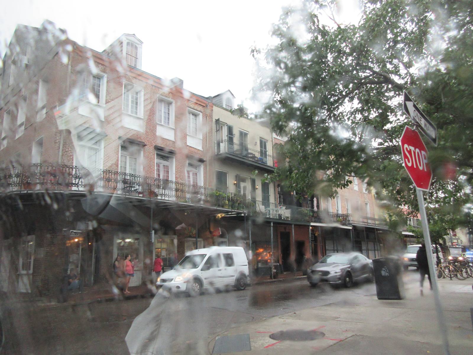
NEW ORLEANS: A surge of tropical moisture streaming north from the Pacific, the Caribbean and the Gulf of America will bring repeated rounds of heavy rain to New Orleans beginning Friday, with forecasters warning the city could see 3 to 5 inches through the weekend and the flash flood risk rising across the region.
"The highest rain totals through Monday will be across Louisiana, Mississippi, Alabama and Georgia, where a widespread 2-3 inches is likely," the FOX Forecast Center said. "Totals of 3-5 inches or more are most likely across southern Louisiana and Mississippi."
The setup is a collision of systems. An upper-level trough will pull the moisture inland, and as the surge climbs north it will run into a wall of high pressure, fueling days of showers and thunderstorms. The FOX Forecast Center warns the pattern could produce a week-long flood threat, with a level 2 out of 4 flash flood risk in place for Saturday and Sunday across Louisiana, Mississippi and Alabama.
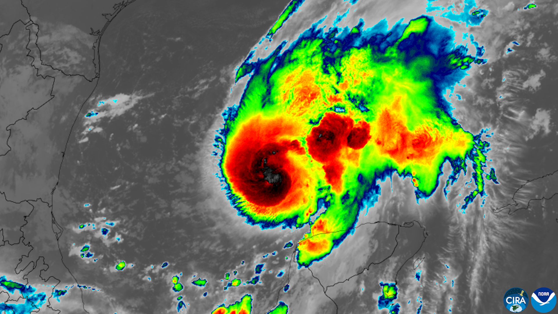
Louisiana radio forecasters are reading the same map. The remnants of Pacific Hurricane Polo, combined with a frontal system, are poised to create a super soaker weekend across southern Louisiana, according to KMDL-FM. The station says weekend plans along the I-10 corridor, from Lake Charles through Lafayette and into Baton Rouge and New Orleans, will need a rain plan. Rain chances hold near 30 percent for Wednesday afternoon and evening showers, then ramp up Thursday, with a significant rain threat Friday lasting through late Saturday evening.
The rain would land on thirsty ground. South Louisiana is in drought conditions, and some parishes have burn bans in effect, according to KMDL-FM. But the station notes the timing is awkward for agriculture, with harvest underway and the prospect of more mud on the roads around cane fields.

The broader flood threat stretches from the Gulf Coast to the Ohio Valley and possibly into the Northeast, and the moisture is expected to linger into early next week as the plume spills north from the Gulf. Fox Weather warns weekend plans for millions could be disrupted, with heavy rain affecting travel.
None to date. The Tribune corrects errors promptly and transparently. Read our corrections policy.