Friday, October 09, 2026 · New Orleans SearchSubscribe
Straight news with the city's distinct voice.
River Mississippi at Carrollton 3.0 ft, steady (flood stage 17 ft)Snapshot Sep 28, 2026 · River: NWS Lower Mississippi RFC
Coast

Isaias becomes first hurricane of 2026; Gulf Coast landfall expected Friday night

Tropical storm warning runs to the Jefferson-Plaquemines line; coastal flood advisory for New Orleans takes effect Friday morning with heavy rain and dangerous surf ahead.
Isaias becomes first hurricane of 2026; Gulf Coast landfall expected Friday night
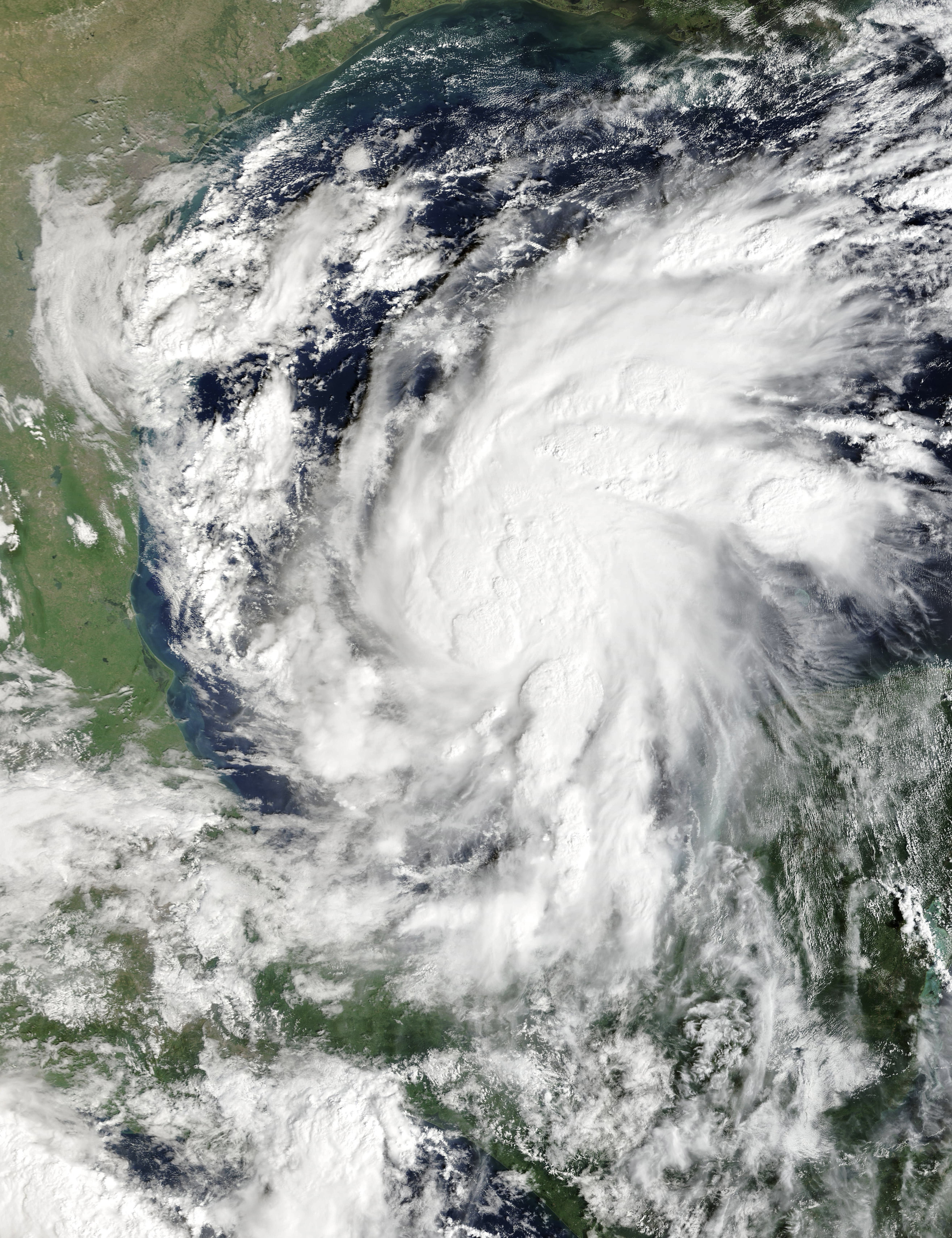
MODIS imagery from NOAA’s Terra satellite, via Wikimedia Commons (public domain)
Tropical Storm Isaias organizing in the Gulf of Mexico on Oct. 7, in an image from NOAA’s Terra satellite. It has since strengthened into the first hurricane of the 2026 Atlantic season.

NEW ORLEANS: Hurricane Isaias is the first hurricane of the 2026 Atlantic season, and it is bearing down on the northern Gulf Coast with landfall expected Friday night or Saturday. New Orleans sits near the western edge of the warning areas, with tropical-storm-force winds, heavy rain and coastal flooding in the forecast.

Isaias was centered in the Gulf more than 400 miles south-southwest of New Orleans on Thursday morning, moving east-northeast. Forecasters expect it to strengthen to at least Category 2 in the central Gulf by Thursday night, though increasing wind shear should bring it down to a Category 1, or possibly still a Category 2, by landfall. Forecasters cautioned that a slight drop in winds right before landfall would do little to diminish the storm’s impacts.
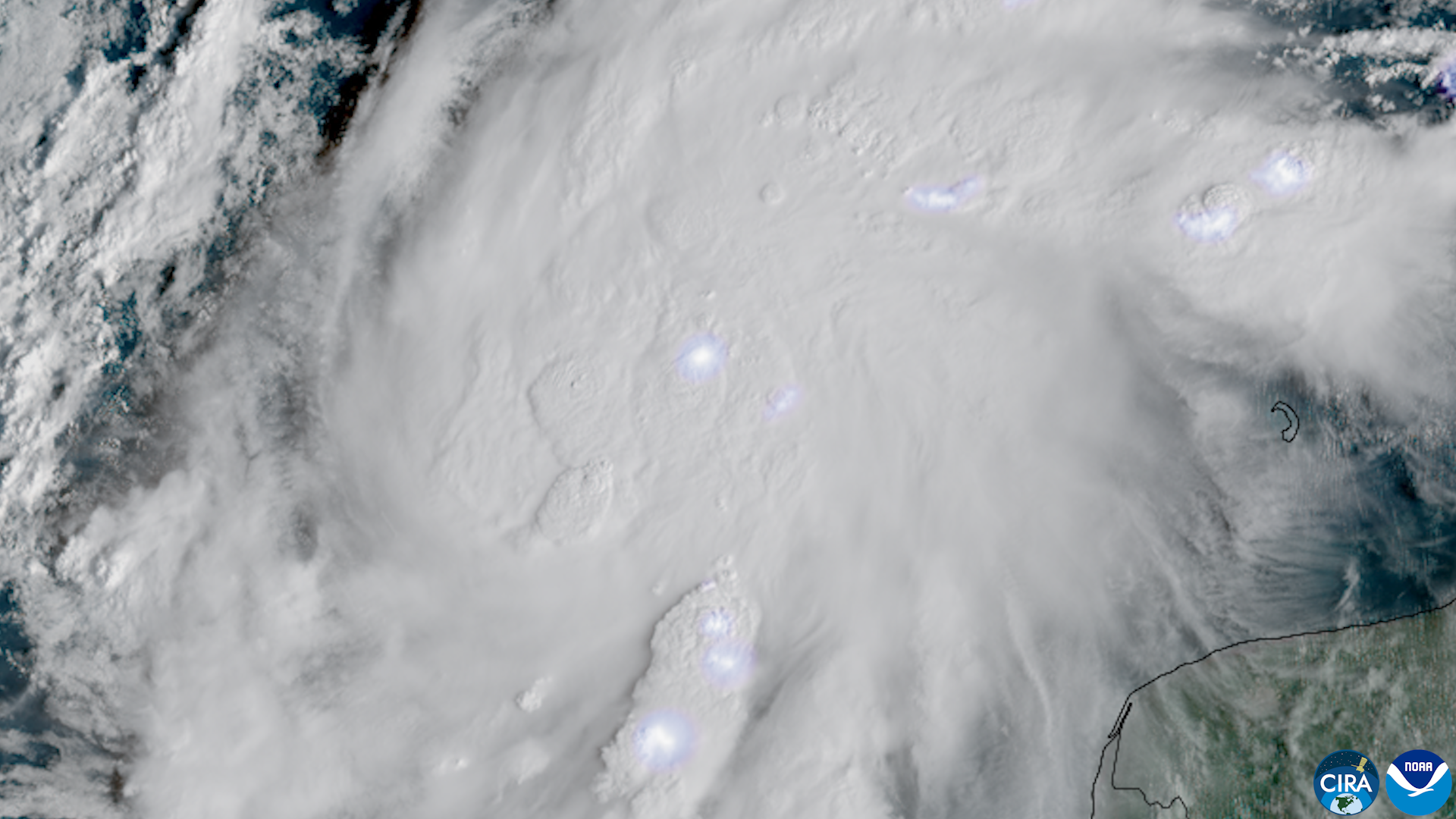
Convection bubbling and lightning flashes inside Isaias in the Gulf on Oct. 7. The storm strengthened into a hurricane overnight as it moved toward the northern Gulf Coast.
GOES imagery: CSU/CIRA and NOAA, via Wikimedia Commons (public domain)
Convection bubbling and lightning flashes inside Isaias in the Gulf on Oct. 7. The storm strengthened into a hurricane overnight as it moved toward the northern Gulf Coast.

The National Hurricane Center has issued a tropical storm warning from the Jefferson-Plaquemines Parish line, just south of New Orleans, east to west of Ocean Springs, Mississippi, with a hurricane warning from Ocean Springs to the Bay-Gulf County line in Florida. A storm surge warning runs from the mouth of the Mississippi River to Steinhatchee, Florida.

For Louisiana, the threats arrive Friday. Wind speeds will pick up across southeast Louisiana by Friday morning, with tropical-storm-force winds possible across the New Orleans metro and the Mississippi Gulf Coast. Damaging winds and power outages, which could last for hours or multiple days, are most likely from extreme southeast Louisiana through southern Mississippi to the Florida Panhandle. New Orleans is under a coastal flood advisory from 3 a.m. Friday to 7 p.m. Saturday.

Rainfall will be the most widespread hazard. Forecasters expect 3 to 7 inches across the Gulf Coast from southeastern Louisiana to the Florida Panhandle, with isolated totals up to 10 inches, and heavy rain spreading inland across the Southeast through the weekend. The National Weather Service office in New Orleans says conditions along the coast will deteriorate through the end of the week, with gusty winds, coastal flooding, heavy rain and dangerous surf. There is also a tornado threat in the storm's outer rainbands as the center approaches Friday and again Saturday across the Southeast.
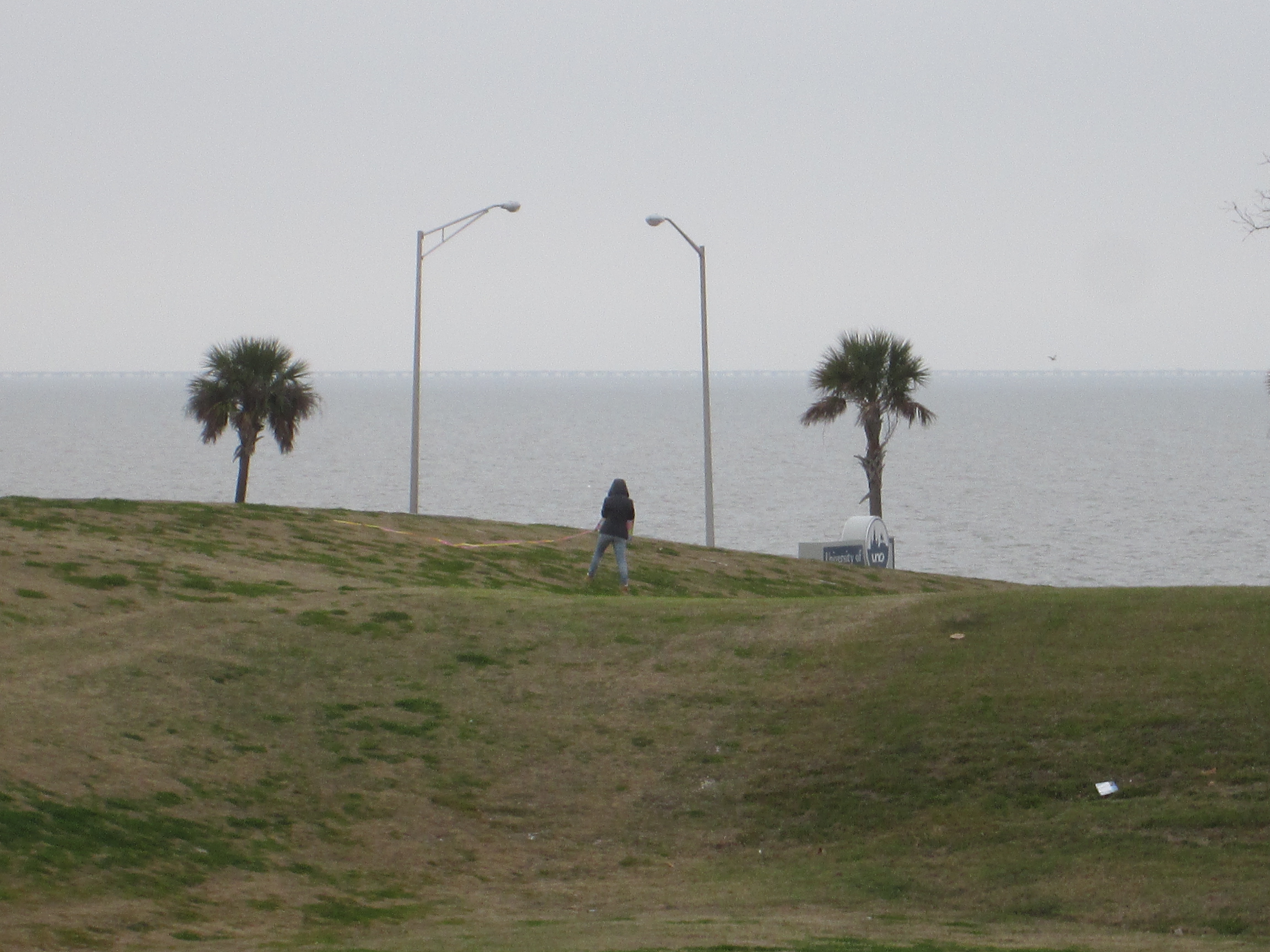
The Lake Pontchartrain levee near the University of New Orleans. A coastal flood advisory for New Orleans runs from 3 a.m. Friday to 7 p.m. Saturday as Isaias moves across the Gulf.
Photograph by Infrogmation of New Orleans, via Wikimedia Commons (CC BY-SA 2.5)
The Lake Pontchartrain levee near the University of New Orleans. A coastal flood advisory for New Orleans runs from 3 a.m. Friday to 7 p.m. Saturday as Isaias moves across the Gulf.

Preparations to protect life and property from damaging winds and storm surge should be completed Thursday, forecasters advise. Residents should know whether they live in an evacuation zone, prepare for power outages lasting at least several hours, and never drive through flooded roads.

Filed under: Coast, isaias, hurricane, gulf-coast, weather

Corrections
None to date. The Tribune corrects errors promptly and transparently. Read our corrections policy.
Environment & Coast reporter
Environment and Coast reporter covering coastal restoration, drainage, water systems, and resilience.

More from Coast

Isaias nears Category 3 as Panhandle landfall window narrows to tonight

Isaias nears Category 3 as Panhandle landfall window narrows to tonight

The first hurricane of 2026 is forecast to reach Category 3 today before shear weakens it ahead of a late-night Panhandle landfall. New Orleans sees 1 to 3 feet of lake surge and a tropical storm warning on the far coast.
Remy Thibodeaux, Environment & Coast reporter · Oct 09, 2026
Weekend soaker: New Orleans could see 3 to 5 inches as flood threat rises across the Gulf Coast

Weekend soaker: New Orleans could see 3 to 5 inches as flood threat rises across the Gulf Coast

Tropical moisture from the Pacific, the Caribbean and the Gulf of America surges north this weekend. Forecasters say New Orleans could see 3 to 5 inches, with a level 2 of 4 flash flood risk in place Saturday and Sunday.
Remy Thibodeaux, Environment & Coast reporter · Oct 01, 2026
After Mid-Barataria: $600 million spent, and the coast debate starts over

After Mid-Barataria: $600 million spent, and the coast debate starts over

The canceled sediment diversion leaves disagreement over its science and governance, and a search for what comes next.
Remy Thibodeaux, Environment & Coast reporter · Sep 25, 2026
NOLA TribuneCoast